India’s coastline expanded by almost half in just over five decades – from 7,516km in 1970 to 11,098km in 2023-24 Gujarat’s recalculated coastline contributed the most to this growth, almost doubling from 1,214km in 1970 to 2,340km in the past 53 years.
India’s Coastline Expanded By Half In Just Over 5 Decades
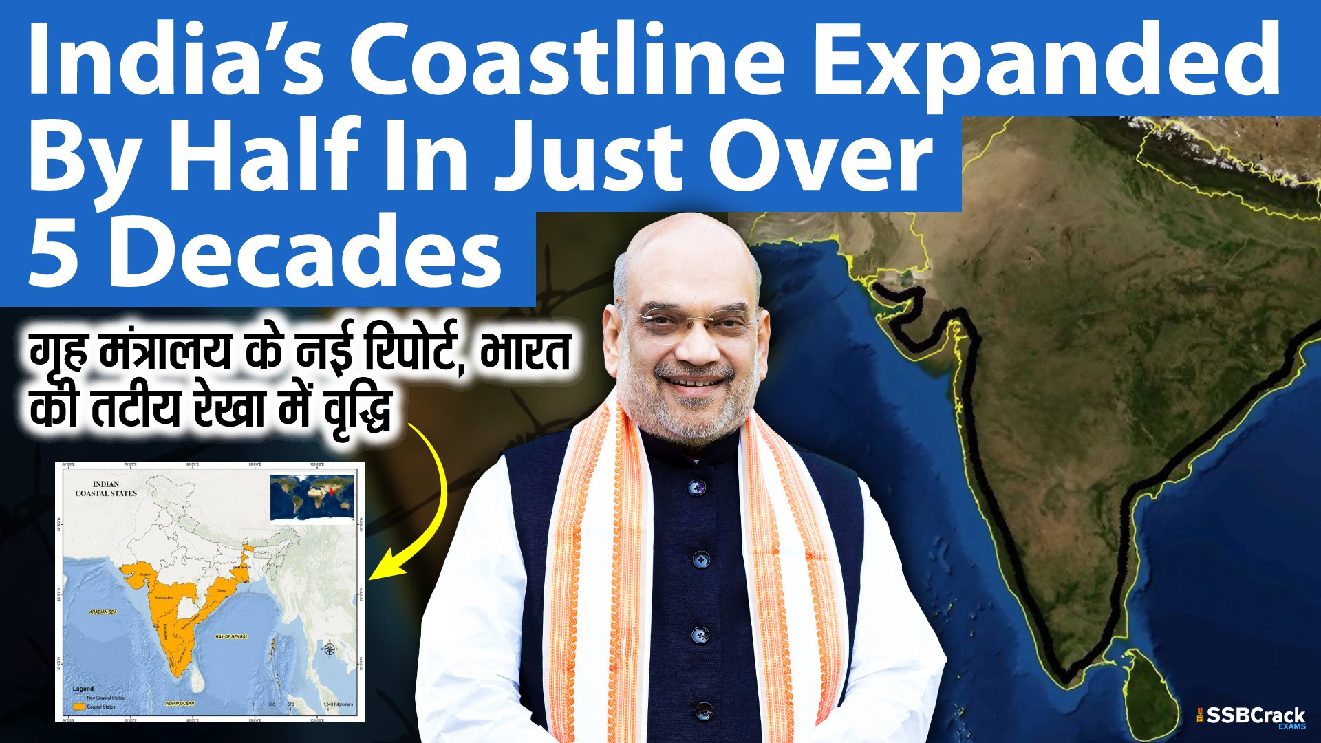
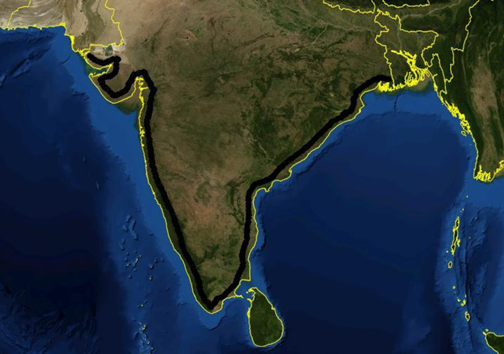
India’s coastline expanded by almost half in just over five decades – from 7,516km in 1970 to 11,098km in 2023-24 – with states like Bengal, Gujarat and Goa adding significantly to their shoreline while Puducherry’s shrunk by 10.4%, according to an MHA report based on new terms of reference for measuring coastal accretion and erosion.
Gujarat’s recalculated coastline contributed the most to this growth, almost doubling from 1,214km in 1970 to 2,340km in the past 53 years.
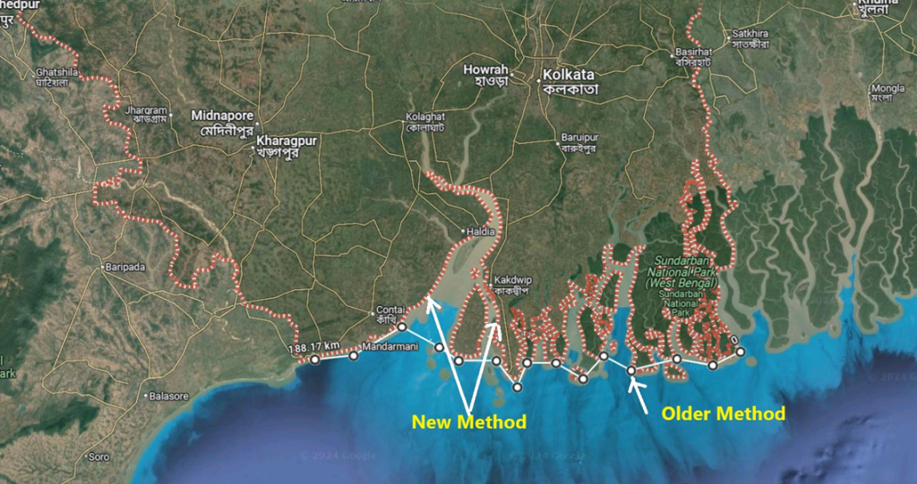
Bengal’s was the highest increase in percentage terms during this period – up 357% from 157km to 721km. Nationally, the coastline increase compared to 1970 data stands at 47.6%. This major upward revision of coastline length across nine states and UTs is attributed primarily to using a new methodology to measure India’s maritime parameter, as established by the National Maritime Security Coordinator.
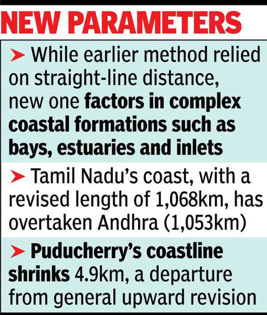
Unlike older methods that relied on straight-line distance measurements, the scientifically updated approach incorporates the measurement of complex coastal formations such as bays, estuaries, inlets, and other geomorphological features.
According to experts, this refined methodology provides a more precise representation of the true length of the coastline, capturing its dynamic and heterogeneous characteristics. Coastline data from 1970, as reported by the National Hydrographic Office and Survey of India, was based on the measurement techniques and technologies available at the time.
While Gujarat retains its position as the state with the longest coastline, Tamil Nadu, with a revised length of 1,068km (previously 906km), has overtaken Andhra Pradesh (1,053km), based on the new survey.
Puducherry’s coastline – including Karaikal, Yanam, and Mahe – contracted by 4.9km, marking a departure from the upward revision elsewhere.
Kerala reported the smallest increase, adding 30km (5%) to its coastline. The data cited in the MHA report are still under review. India’s coastline spans the mainland and several islands, bordered by the Bay of Bengal to the east, the Indian Ocean to the south, and the Arabian Sea to the west.
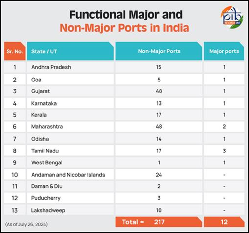
Gujarat, Maharashtra, Goa, Karnataka, Kerala, TN, AP, Odisha, and Bengal, and four UTs – Daman & Diu, Lakshadweep, Puducherry, and the Andaman & Nicobar Islands – constitute the country’s maritime economy and biodiversity.
AP has been developing new ports such as Ramayapatnam, Krishnapatnam, and Kakinada Gateway, all of which are expected to boost economic activity, employment, logistics, industrialisation, and urbanisation.
Stagewise Length-New(old) in km
1.Gujarat -2340.62 (1217.7)
2.Tamil Nadu-1068.69 (906.9)
3.Andhra Pradesh- 1053.07 (973.7)
4.Maharashtra- 877.97 (652.6)
5.West Bengal- 727.02 (157.5)
6.Kerala- 600.15 (569.7)
7.Odisha- 574.71 (464.4)
8.Karnataka- 343.3 (280)
9.Goa- 193.95 (101)
In Union Territory
1.A & N -3083.5 (1962)
2.Lakshadweep- 144.8 (132)
3. Daman & Diu (DNDD)- 54.38 (42.5)
4. Puducherry UT(Incl all 4 parts)- 42.65 (47.6 km).
In the new ToR (definition), the measurement consider bay, inlets, estuaries..etc, the older method just consider straight line. So, WB, coastline length went up from 157.5 km to 721 km.
