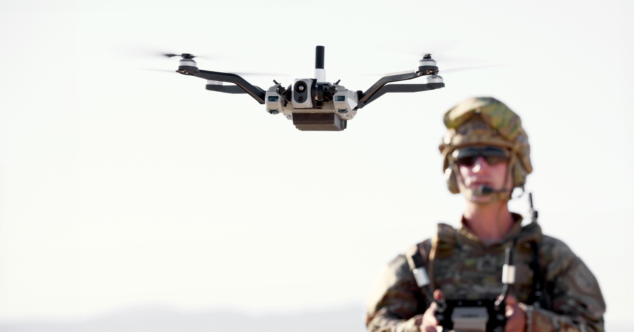
In a groundbreaking achievement, Red Cat’s “Black Widow” drone has successfully navigated through a GPS- and signal-denied environment, making it the first US Army-certified drone to employ visual navigation for operational use. This pivotal test highlights significant advancements in aerial technology, particularly in scenarios where traditional navigation methods may fail.
The flight test was executed in a collaborative effort with Palantir Technologies, which played a crucial role by integrating its proprietary Visual Navigation (VNav) software into the Black Widow platform. This innovative software allows the drone to operate effectively without relying on GPS signals, a feature that could prove instrumental in various military operations where electronic signals may be compromised.
During the test, the VNav technology demonstrated its capability to maintain reliable navigation across diverse mission parameters. The drone operated at speeds of up to 16 miles per hour (approximately 25.7 kilometers per hour) and maintained stable flight at altitudes as low as 150 feet (46 meters). This performance underlines the drone’s adaptability in challenging environments, potentially expanding its applications in fields such as reconnaissance, surveillance, and search-and-rescue operations.
This development marks a significant milestone not only for Red Cat but also for the broader landscape of military drone technology. As the demand for advanced unmanned systems continues to rise, the successful integration of VNav into the Black Widow sets a new benchmark for future aerial operations where reliability and precision are paramount, even when conventional navigation aids are unavailable.
As the military looks to incorporate more technological advancements to enhance operational effectiveness, the implications of this successful flight test could lead to further innovations and enhancements in drone technology, ensuring that unmanned systems remain a vital asset on the battlefield.