


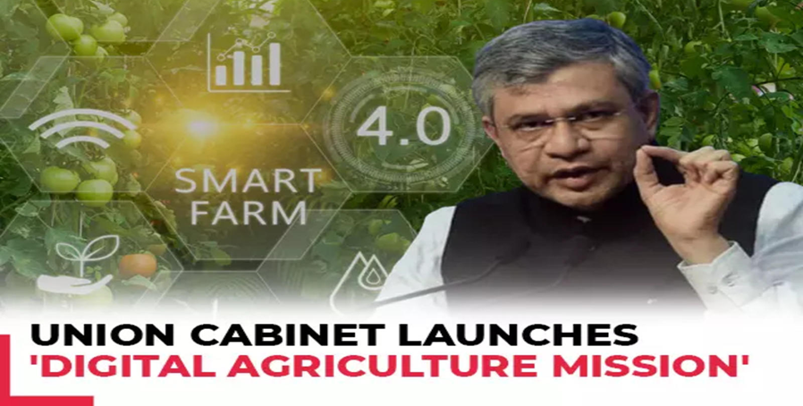
Union Cabinet Committee chaired by the Prime Minister Shri Narendra Modi approved the Digital Agriculture Mission today with an outlay of Rs. 2817 Crore, including the central share of Rs. 1940 Crore. The Mission is conceived as an umbrella scheme to support digital agriculture initiatives, such as creating Digital Public Infrastructure, implementing the Digital General Crop Estimation Survey.
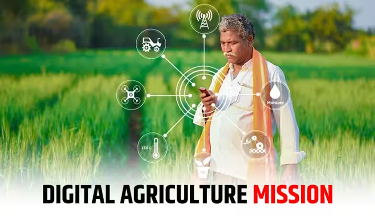
Digital Agriculture Mission
Why In News
- Union Cabinet Committee chaired by the Prime Minister Shri Narendra Modi approved the Digital Agriculture Mission today with an outlay of Rs. 2817 Crore, including the central share of Rs. 1940 Crore.
- The Mission is conceived as an umbrella scheme to support digital agriculture initiatives, such as creating Digital Public Infrastructure, implementing the Digital General Crop Estimation Survey (DGCES), and taking up other IT initiatives by the Central Government, State Governments, and Academic and Research Institutions.
DPI Mission
- The mission to create Digital Public Infrastructure in the agriculture sector is similar to the government’s flagship e-governance initiatives in other sectors, which have over the years resulted in digital solutions such as the Aadhaar unique ID, the DigiLocker document folder, the eSign electronic signature service, the unified payments interface (UPI) instant money transfer protocol, and electronic health records.
- Three major components of DPI are envisaged under the Digital Agriculture Mission:
- AgriStack, Krishi Decision Support System (DSS), and Soil Profile Maps.
- Each of these DPI components will provide solutions that will allow farmers to access and avail of various services. The mission also aims to create a tech-based ecosystem, the Digital General Crop Estimation Survey (DGCES), which will provide accurate estimates of agricultural production.
Three Pillars Of Mission
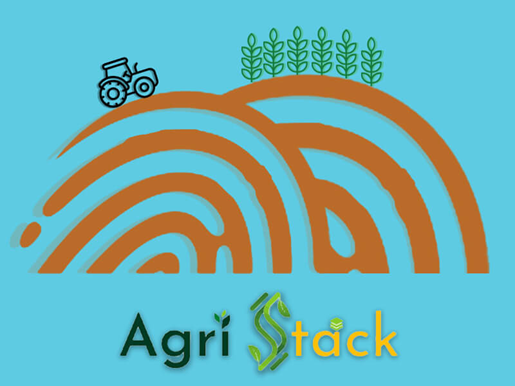
- AgriStack : The farmer-centric DPI AgriStack consists of three foundational agri-sector registries or databases: Farmers’ Registry, Geo-referenced Village Maps, and Crop Sown Registry, all of which will be created and maintained by state/ UT governments.
- FARMERS’ REGISTRY: Farmers will be given a digital identity (‘Farmer ID’) similar to Aadhaar, which will be linked dynamically to records of land, ownership of livestock, crops sown, demographic details, family details, schemes and benefits availed, etc. Pilots projects for the creation of Farmer IDs have been carried out in six districts — Farrukhabad (Uttar Pradesh), Gandhinagar (Gujarat), Beed (Maharashtra), Yamuna Nagar (Haryana), Fatehgarh Sahib (Punjab), and Virudhunagar (Tamil Nadu), another source said. According to sources, the government aims to create digital identities for 11 crore farmers, 6 crore of whom will be covered in the current (2024-25) financial year, another 3 crore in 2025-26, and the remaining 2 crore farmers in 2026-27.

- CROP SOWN REGISTRY: The Crop Sown Registry will provide details of crops planted by farmers. The information will be recorded through Digital Crop Surveys — mobile-based ground surveys — in each crop season.
- A pilot Digital Crop Survey was conducted in 11 states in 2023-24 in order to develop the Crop Sown Registry, a source said. The government aims to launch the Digital Crop Survey across the nation over the next two years, covering 400 districts in the current (2024-25) financial year, and the remaining in FY2025-26, sources said.
- GEO-REFERENCED VILLAGE MAPS: The maps will link geographic information on land records with their physical locations.
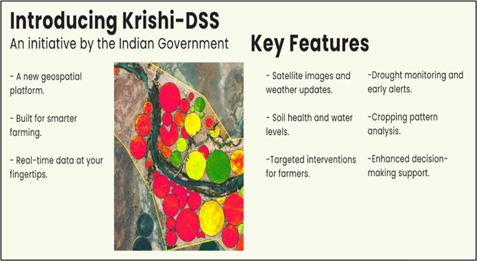
- Krishi DSS – Krishi Decision Support System, which was unveiled recently, will create a comprehensive geospatial system to unify remote sensing-based information on crops, soil, weather, and water resources, etc.
- This information will support crop map generation for identifying crop sown patterns, droughts/ flood monitoring, and technology-/ model-based yield assessment for settling crop insurance claims by farmers.
- Soil Profile Maps : Under the Mission, detailed Soil Profile Maps (on a 1:10,000 scale) of about 142 million hectares of agricultural land are envisaged to be prepared. A detailed soil profile inventory of about 29 million ha has already been completed, sources said.
- Digital General Crop Estimation Survey (DGCES) : This will be a major push to improve the existing crop yield estimation system, and to make the data more robust, addressing concerns that are sometimes raised about the accuracy of India’s agriculture production estimates.

- Better data will help government agencies make schemes and services such as paperless Minimum Support Price (MSP)-based procurement, crop insurance, and credit card-linked crop loans more efficient and transparent, and develop systems for the balanced use of fertilisers, the sources said.
- The digitally captured data on crop-sown area, along with the DGCES-based yield and remote-sensing data, will help improve the accuracy of crop production estimates, the sources said. The data will also help facilitate crop diversification and evaluate irrigation needs according to the crop and season.

