Maxar Intelligence and Saab have entered into a partnership aimed at advancing multi-domain battlespace solutions, with a particular emphasis on integrating space-based capabilities for drones. This collaboration will see Maxar’s wealth of satellite imagery and three-dimensional terrain data combined with Saab’s cutting-edge defense systems.
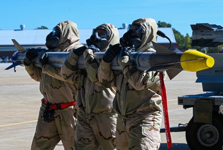
The initiative is designed to enhance the effectiveness of autonomous systems operating in contested environments. By delivering precise navigation and targeting information independent of GPS, the partnership aims to revolutionize military operations under challenging conditions.
Görgen Johansson, head of Saab’s Dynamics business, emphasized the significance of this collaboration: “Our partnership with Maxar represents a significant leap forward in our commitment to leveraging information from the Space domain, thereby enhancing the strategic defense capabilities of Europe and beyond.” This strategic alliance not only bolsters defense capabilities but also aims to set a new standard for military operations across various domains.
As part of the agreement, Saab will benefit from access to Maxar’s extensive geospatial intelligence tools and mission products, which include the innovative Raptor platform. Johansson elaborated, stating, “By integrating Maxar’s high-end geospatial insights and satellite capabilities with our advanced defense systems, we are setting new standards in the effectiveness and reliability of military operations across multiple domains.”
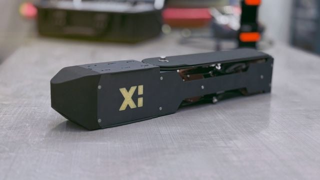
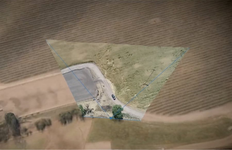
The collaboration builds on Maxar’s previous endeavors with Saab, particularly the recent field testing of the Raptor software. This vision-based software suite is capable of enabling drones to navigate autonomously without the need for GPS. It employs the onboard cameras of drones in conjunction with Maxar’s 3D terrain data, which encompasses over 90 million square kilometers (approximately 34.7 million square miles) to discern precise ground coordinates and ascertain aerial positioning in real time.
Field tests have proven the effectiveness of the Raptor system, with Maxar reporting an impressive accuracy of ground coordinate extraction that exceeds 2 meters (6.5 feet). This level of precision significantly enhances the potential for successful military operations in areas where traditional GPS reliance may be compromised.
The partnership between Maxar Intelligence and Saab marks a pivotal step forward in military technology, focusing on the integration of satellite and terrestrial data to bolster the future of defense capabilities.