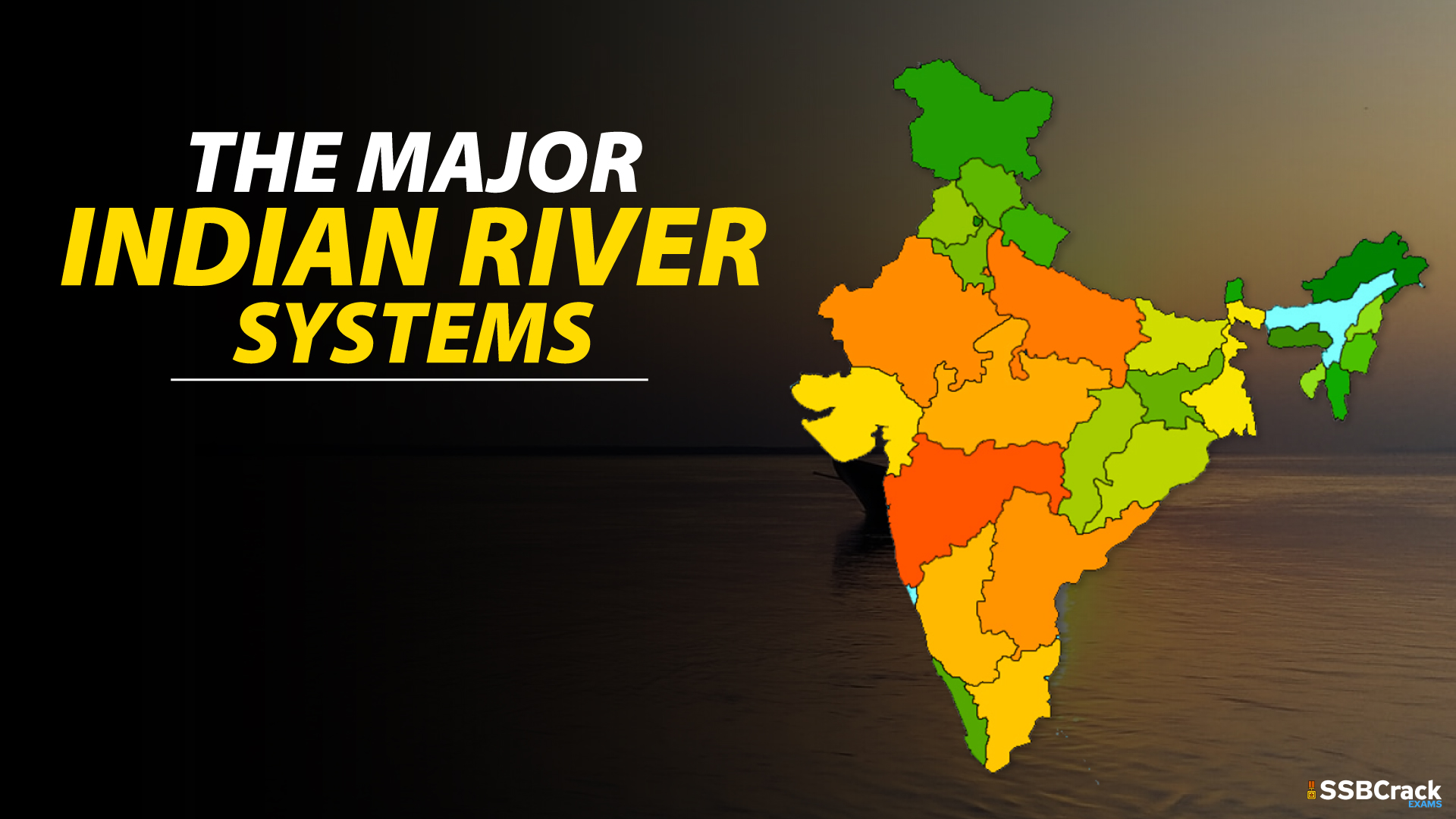
Rivers are invariably part of our cultural and social fabric. Some of the biggest cities in India are on the banks of major rivers and all our lives are dependent on rivers, either directly or indirectly. We see that the major rivers are influential in a wide geographical area, owing to their numerous branches, tributaries etc.
A river system is the broad geographical patterns made by rivers, streams and lakes in a particular basin. Undoubtedly India has a number of major rivers andriver systems, all nourishing our land as well as our lives. In this article we present defence aspirants all they need to know about our major river systems:
Here is the Complete list of Major Indian River Systems:
Indus River System
The Indus River originates near Lake Mansarovar, on the northern slopes of Tibet’s Kailash range.The Indus River rises near Lake Mansarovar on the northern slopes of Tibet’s Kailash mountain. It has a vast number of tributaries in both India and Pakistan, with a total length of around 2897 kilometres from the source to the point near Karachi where it empties into the Arabian Sea, with approximately 700 kilometres in India. It forms a beautiful gorge when it enters Indian territory in Jammu & Kashmir. It connects various tributaries in Kashmir, including the Zaskar, the Shyok, the Nubra, and the Hunza. At Leh, it runs between the Ladakh and Zaskar Ranges. It passes through the Himalayas in Attock, which is north of Nanga Parbat, through a 5181-meter-deep gorge. Jhelum, Ravi, Chenab, Beas, and Sutlej are the primary tributaries of the Indus River in India.
Brahmaputra River System
The Brahmaputra flows from Mansarovar Lake, which also feeds the Indus and Sutlej rivers. It stretches over 3848 kilometres, somewhat longer than the Indus River.The majority of its journey takes place outside of India. In an eastward direction, it runs parallel to the Himalayas. It does a U-turn around Namcha Barwa and enters India through the state of Arunachal Pradesh. The Dihang River is the name given to it in this area. It runs across the Indian states of Arunachal Pradesh and Assam, and is fed by a number of tributaries. In Assam, the Brahmaputra has a twisted channel for the majority of its length.
In Tibet, the river is known as the Tsangpo. In the Tibet area, it receives less water and has less silt. However, the river travels through an area of considerable rainfall in India, and as a result, the river carries massive volumes of water and a substantial amount of sediment during rains. In terms of volume, it is regarded as one of India’s greatest rivers. It is notorious for causing disasters in Assam and Bangladesh.
Ganga River System
From the Gangotri glacier, the Ganga emerges as the Bhagirathi. The Mandakini, Pindar, Dhauliganga, and Bishenganga rivers unite into the Alaknanda before draining into the Bhagirathi
at Devprayag in the Garhwal Division. East Trishul gives origin to the Pindar River, which joins the Alaknanda at Karan Prayag. Rudraprayag is where the Mandakini gathers. At Devprayag, water from both the Bhagirathi and the Alaknanda pours into the Ganga. Yamuna, Damodar, Sapta Kosi, Ram Ganga, Gomati, Ghaghara, and Son are the Ganga’s major tributaries. After travelling 2525 kilometres from its source, the river reaches the Bay of Bengal.
Yamuna River System
The Yamuna is the Ganga’s main tributary. It comes from the Yamunotri glacier on Uttarakhand’s Bandarpoonch summit. The Sin, Hindon, Betwa Ken, and Chambal are the primary tributaries that join the river. The Tons is the Yamuna’s greatest tributary. Delhi, Himachal Pradesh, Uttar Pradesh, Haryana, Rajasthan, and Madhya Pradesh are all part of the river’s catchment area.
Narmada River System
The Narmada is a river in India’s central region. It reaches the top of Amarkantak Hill in the state of Madhya Pradesh. It demarcates the historical divide between North and South India. It is one of Peninsular India’s main rivers. The Narmada, Tapti, and Mahi rivers are the only ones that flow from east to west. Madhya Pradesh, Gujarat, and Maharashtra are the states along which the river runs. It flows into the Arabian Sea in Gujarat’s Bharuch district.
Tapi River System
It’s a river that runs through central India. It is one of Peninsular India’s most important rivers, flowing from east to west. Its source is in the Eastern Satpura Range of Madhya Pradesh’s southern state. It runs westward, draining the Nimar area of Madhya Pradesh, the East Vidarbha region of Maharashtra, and the Khandesh region of Maharashtra in the northwest corner of the Deccan Plateau and South Gujarat before flowing into the Arabian Sea’s Gulf of Cambay. The Tapi River’s basin is largely in Maharashtra’s eastern and northern districts. The river also runs through parts of Madhya Pradesh and Gujarat. Waghur River, Aner River, Girna River, Purna River, Panzara River, and Bori River are the Tapi River’s main tributaries.
Godavari River System
The Godavari is India’s second-longest river. The river is also known as the Vriddh (Old) Ganga or the Dakshin (South) Ganga. It’s a seasonal river that dries out in the summer and spreads out during the monsoons. Trimbakeshwar, in Nasik in Maharashtra, is the source of this river. It drains into the Bay of Bengal after flowing southeast through the states of Madhya Pradesh, Telangana, Andhra Pradesh, and Orissa in south-central India. At Rajahmundry, the river forms a lush delta. The water in Godavari is brownish in colour. Many pilgrimage sites, including Nasik (MH), Bhadrachalam (TS), and Trimbak, are located along the river’s banks. Pranahita (combination of
Penuganga and Warda), Indravati River, Bindusara, Sabari, and Manjira are a few of its tributaries. The river Godavari is home to Asia’s biggest rail-road bridge, which connects Kovvur and Rajahmundry.
Krishna River System
The Krishna River, which flows from Mahabaleshwar in Maharashtra, is one of India’s longest rivers. It runs through Sangli before draining into the Bay of Bengal. Maharashtra, Karnataka, Telangana, and Andhra Pradesh are the states along which the river runs. The primary tributary, the Tungabhadra River, is created by the Tunga and Bhadra rivers, which originate in the Western Ghats. Other tributaries include the Dudhganga, Koyna, Bhima, Mallaprabha, Dindi, Ghataprabha, Warna, Yerla, and Musi rivers.
Cauvery River System
Dakshin Ganga is another name for the Cauvery. Talakaveri, in the Western Ghats, is where it comes from. It is a well-known pilgrimage and tourism destination in Karnataka’s Kodagu district. The river’s origins are in the Western Ghats range of Karnataka, and it flows through Tamil Nadu. The water from the river flows into the Bay of Bengal. The river provides irrigation for crops and is seen as a source of support for South India’s ancient kingdoms and modern towns. Arkavathy, Shimsha, Hemavati, Kapila, Shimsha, Honnuhole, Amaravati, Lakshmana Kabini, Lokapavani, Bhavani, Noyyal, and Tirtha are some of the river’s tributaries.
Mahanadi River System
The Mahanadi is a river in eastern India that originates in the Satpura Range of central India. It empties into the Bay of Bengal to the east. Maharashtra, Chhattisgarh, Jharkhand, and Orissa all have rivers that drain into it. The Hirakud Dam, the world’s biggest, is constructed on the river.
Major Indian River Systems
| River System | Total length | Length in India |
| Indus River System | 3180 km | 1114 km |
| Brahmaputra River System | 2900 km | 916 km |
| Ganga River System | 2510 km | 2510 km |
| Yamuna river System | 1376 km | 1376 km |
| Narmada River System | 1312 km | 1312 km |
| Tapi River System | 724 km | 724 km |
| Godavari River System | 1465 km | 1465 km |
| Krishna River System | 1400 km | 1400 km |
| Cauvery River System | 805 km | 805 km |
| Mahanadi River System | 851 km | 851 km |
Conclusion
These river systems are obviously an integral part of our nation, its human and cultural fabric as well. They offer the basis for our livelihood and offer us numerous resources apart from water. It is important for us to realise this and take necessary measures to protect these rivers. We can see that projects like Namami Gange are intended in this direction.
Check out more such articles on the site of SSBCrackExams and tell us your queries in the comments section.
Also Read: List Of Tiger Reserves In India
