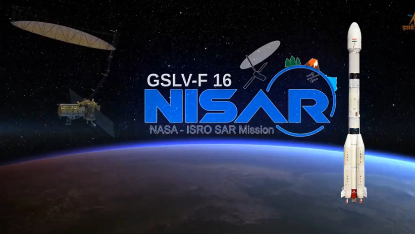
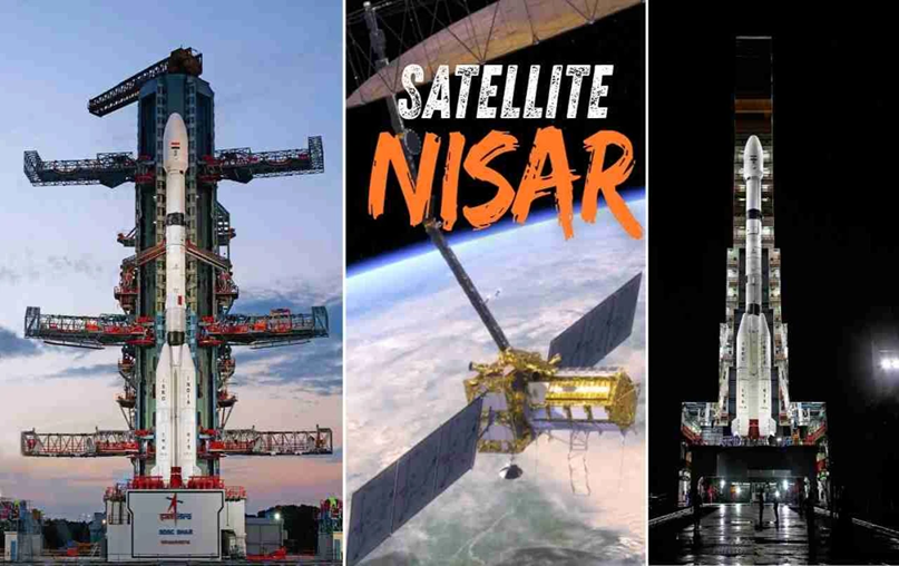
Nisar, one of the most expensive earth-observation satellites, is set to be launched on Wednesday (July 30). The satellite will liftoff at 5.40 pm from the Satish Dhawan Space Centre in Sriharikota, Andhra Pradesh. Jointly developed by the Indian Space Research Organisation (Isro) and the National Aeronautics and Space Administration (Nasa), the Indian space agency’s GSLV Mk-II rocket will inject the Nisar satellite into a 747 km sun-synchronous polar orbit.
NISAR Launch: Why NASA-ISRO Joint Satellite Is Big Deal ?
Why In News
- Nisar, one of the most expensive earth-observation satellites, is set to be launched on Wednesday (July 30). The satellite will liftoff at 5.40 pm from the Satish Dhawan Space Centre in Sriharikota, Andhra Pradesh. Jointly developed by the Indian Space Research Organisation (Isro) and the National Aeronautics and Space Administration (Nasa), the Indian space agency’s GSLV Mk-II rocket will inject the Nisar satellite into a 747 km sun-synchronous polar orbit.
What Is NISAR
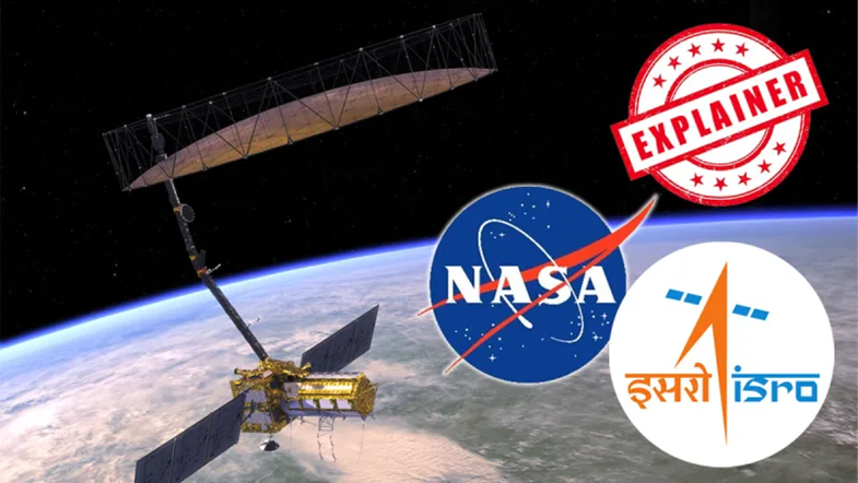
- Nisar, which stands for Nasa-Isro Synthetic Aperture Radar, weighs 2,392 kg. It is the first major earth-observing satellite with two frequencies — Nasa’s L-band and Isro’s S-band.
- The dual-band radar will equip the mission to observe changes more accurately than any other satellite. “Each system’s signal is sensitive to different sizes of features on Earth’s surface, and each specialises in measuring different attributes, such as moisture content, surface roughness, and motion,” according to Nasa. The satellite, which costs over $1.5 billion, was built in a decade.
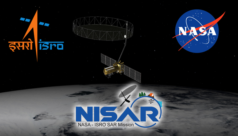
- It features a 12-meter unfurlable gold mesh antenna, the largest of its kind in low-Earth orbit, integrated into Isro’s I‑3K spacecraft bus. This platform contains controls handling command and data, propulsion, and attitude, along with 4 kW of solar power.
How NISAR Will Work
- The unique Earth imaging satellite will enter the sun-synchronous polar orbit at 747 km altitude and inclination of 98.4 degrees after launch.
- However, Nisar will not start capturing images immediately. Instead, the first 90 days will be spent by the satellite on commissioning, or In-Orbit Checkout (IOC), which will prepare it for science operations, according to Isro. The synthetic aperture radar (SAR) of the satellite will bounce radar waves off the planet’s surface, measuring the time it takes for the signal to return and how its phase changes, reported The Hindu.

- Nisar will observe the Earth in L-band SAR (1.257 GHz), which uses longer-wavelength radiowaves to monitor changes under thick forests and soil and deformations on the ground.
- The S-band SAR (3.2 GHz) will utilise shorter-wavelength radiowaves to capture surface details, including crops and water surfaces, as per the newspaper.
- The satellite will observe the Earth with a swath of 242 km and high spatial resolution, using SweepSAR technology for the first time, as per Isro.
- Nisar will scan the globe every 12 days, providing detailed images of the Earth’s surface. The dual radar payload on the satellite employing SweepSAR technology will ensure very high-resolution data, in all weather conditions, and during the day and the night.
Why NISAR Is A Big Deal
- Nisar mission signals the growing partnership between India and the US in the space sector. “This mission is not just about a satellite launch — it is a moment that symbolises what two democracies committed to science and global welfare can achieve together. Nisar will not only serve India and the United States but will also provide critical data for countries around the world, especially in areas like disaster management, agriculture, and climate monitoring,” Union Minister for Science and Technology Dr Jitendra Singh said earlier.
- The satellite will help study the changes in Earth’s ecosystems, ice mass, vegetation biomass, forest cover, groundwater, sea level rise, as well as natural hazards, including earthquakes, tsunamis, volcanoes, and landslides. The data produced by Nisar will be freely available to all users, usually, within a few hours.
- “The data will be placed in the public archive almost instantly after processing. Nasa and Isro have agreed – this is a science mission, and all radar data will be open,” Dr Paul Rosen, a Nasa Project Scientist for Nisar at the Jet Propulsion Laboratory in California.

- He underlined the satellite’s role in tracking landslides and glacial lake outburst floods (GLOFs), which are becoming more common due to climate change. “We can see precursory motion before landslides. And we will monitor glacier dynamics to assess GLOF risks,” Dr Rosen said.
- The satellite will also help monitor seismic zones, such as the Himalayas. “We can measure ground motion to millimetre precision. That helps us understand the earthquake cycle – before, during, and after seismic events,” he added.
- The satellite can trace the path of a storm and the Earth’s movements during earthquakes and volcanic eruptions. Nisar is expected to provide new insights into climate change or natural disasters, which can help in mitigation measures and early response.