


The ongoing conflict in Iran has brought to the forefront the vital role of geospatial intelligence (GEOINT) in contemporary warfare, as the distinction between digital and physical battlegrounds diminishes.
GEOINT—characterized by the integration of satellite imagery, mapping data, and sophisticated analytics—has become a crucial asset in military operations. It supports various activities, including military planning, air strikes, and other kinetic operations, enhancing the effectiveness of campaigns on the ground.
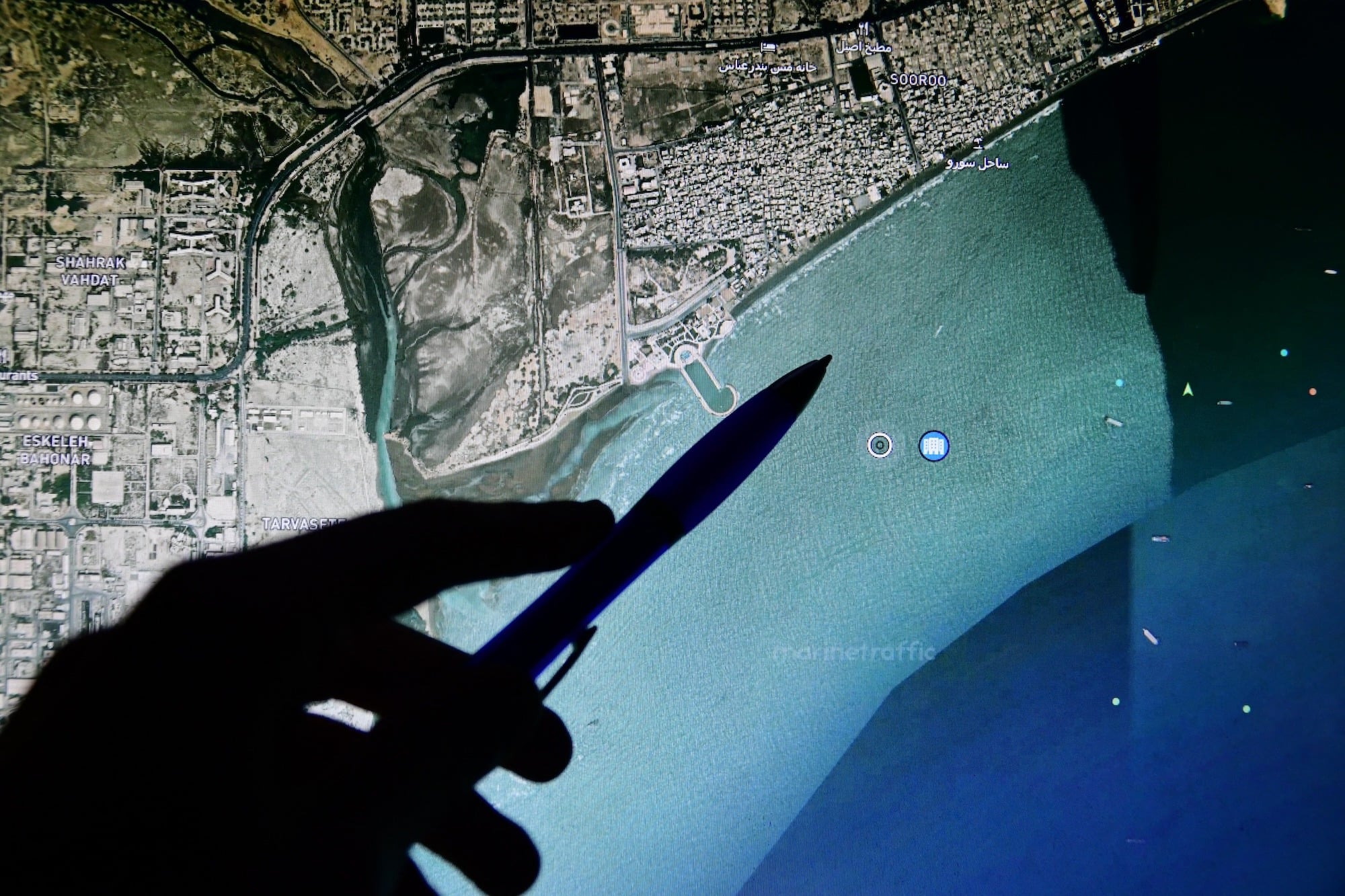
A recent threat intelligence report from cybersecurity firm Resecurity sheds light on how geospatial data is strategically utilized to identify and target essential infrastructure, such as data centers and oil and gas facilities. The report delves into the tactics employed by Iranian actors to gather and exploit this type of data, highlighting both the opportunities and risks associated with its use in armed conflict. Furthermore, it discusses the efforts by commercial imagery providers to curtail access to sensitive information during active confrontations, aiming to protect vital installations from hostile actions.
The report emphasizes that GEOINT functions as a dual-use tool in warfare. It has proven instrumental in both offensive operations, facilitating precise targeting, and defensive strategies, prompting measures to restrict access to high-resolution imagery. Despite these protective steps, Iranian groups reportedly continue to access geospatial intelligence through various alternative routes, including dark web platforms and paid human intelligence, which Resecurity describes as a persistent threat to regional infrastructure.
In addition to the specifics of the Iranian conflict, the report indicates a larger trend: the convergence of GEOINT with other intelligence forms, including signals intelligence (SIGINT), human intelligence (HUMINT), and cyber operations. This integration is anticipated to play an increasingly critical role in future conflicts, with insights drawn from the ongoing dynamics in Ukraine and Iran serving as a potential model for future engagements in other regions.
Resecurity cautions organizations across sectors such as defense, energy, transportation, logistics, and telecommunications to remain aware of these evolving threats. They advise implementing robust protective measures and minimizing the exposure of geospatial data linked to personnel and facilities. The exposure of such sensitive information could facilitate targeted attacks by foreign actors, underscoring the urgent need for increased vigilance and security in the face of shifting warfare landscapes.

