


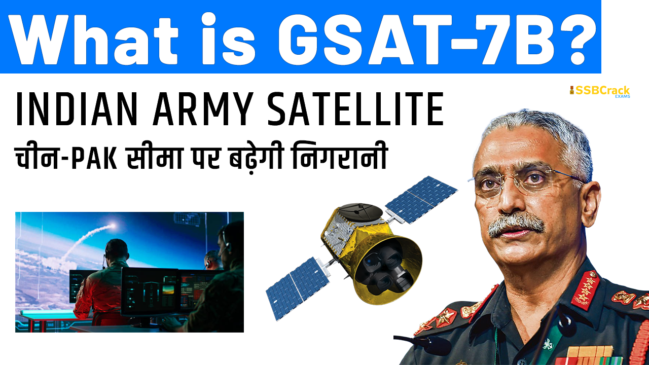
In a major capability boost for the Indian Army, the Defence Ministry on Tuesday cleared a Rs 4,000 crore proposal for a dedicated surveillance satellite to keep an eye on the activities along the borders with China and Pakistan.
“The Defence Acquisition Council meeting on Tuesday cleared the proposal for a made in India dedicated satellite for the Indian Army. The project for the satellite GSAT 7B will be carried out in partnership with the Indian Space Research Organisation (ISRO) and would help the Indian Army enhance its surveillance in border areas,” government sources told.
The Indian Navy and Air Force already have dedicated satellites of their own and the approval to this will help the Indian Army to achieve the capability.
Post military standoff with china since April-May 2020, the Indian Army has been working towards upgrading capabilities along with strengthening its surveillance assets including drones along the Line of Actual Control (LAC) with China.
The satellite built by ISRO would also help the Make in India programme initiated by Prime Minister Narendra Modi to develop indigenous industry in the country, defence officials said.
What is GSAT-7B Satellite?
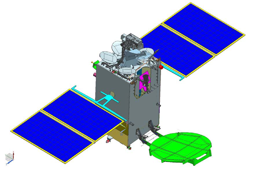
The GSAT-7B is a communication satellite part of the GSAT-7 series, which was first launched in 2013 by the Indian Space & Research Organisation (Isro). The launch of the satellite ended the dependency of the Indian Navy on foreign satellites like Inmarsat for communication services.
According to Isro, “GSAT-7 is an advanced communication satellite built by ISRO to provide a wide range of service spectrum from low bit rate voice to high bit rate data communication. The GSAT-7 Communication payload is designed to provide communication capabilities to users over a wide oceanic region including the Indian land-mass.”
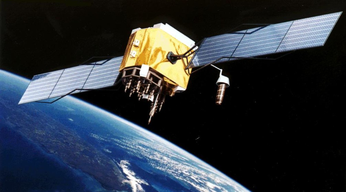
Launched in the geosynchronous transfer orbit, the satellite, also dubbed Rukmini, has emerged as a potent communication tool for the armed forces for nearly a decade. The spacecraft was equipped with transponders in Ku band, S-band, C band and UHF (ultra-high frequency) band to improve the maritime communications among the Indian Navy’s warships.
Rukmini was the first military satellite developed by Isro and launched atop an Ariane 5 ECA rocket from Kourou in French Guiana. The satellite connects the Navy’s warships, aircraft, submarines and land-based communication systems in real-time.
India followed GSAT-7 with GSAT-7A, dubbed the “Indian Angry Bird”, launched in 2018. This satellite helped in the formation of a band of communications satellites for the Indian military. The 2,250-kg military communications satellite helped in connecting all assets of the Indian Air Force and serves as a force multiplier. GSAT-7A provides communication capability to users in Ku-band over the Indian region, Isro said, adding that the mission life of GSAT-7A is eight years.
What is Integrated Space Cell?
The Integrated Space Cell was the nodal agency within the Government of India which oversees the security of its space-based military and civilian hardware systems. It was to be jointly operated by all the three services of the Indian Armed Forces, the civilian Defence Research and Development Organisation and the Indian Space Research Organisation (ISRO). This agency was Superseded by Defence Space Agency.
As of 2018, the IRS system is the largest constellation of remote sensing satellites for civilian use in operation today in the world which also has dual military use, with 14 operational satellites including the latest at least 4 dedicated military use (GSAT-7, GSAT-6 and GSAT-7A, EMISAT by DRDO), however GSAT-6A which was launched as a dedicated satellite for army lost communication after its launch, and HySIS and Microsat-R satellites as of 24 January 2019 are dual-use satellite available to the military also.

Of the 900+ operational satellites, there are 320 dual-use or dedicated military satellites in the sky, half of which are owned by the USA alone, followed by Russia, China and India (14).
List Of Indian Military Satellites in use:
- Technology Experiment Satellite or (TES) is an experimental satellite to demonstrate and validate, in orbit, technologies that could be used in the future satellites of Indian Space Research Organisation (ISRO). The Technology Experiment Satellite (TES) has a panchromatic camera capable of producing images of 1 meter resolution for remote sensing. The launch of TES made India the second country in the world after the United States that can commercially offer images with one meter resolution. It is used for remote sensing of civilian areas, mapping industry and geographical information services.
- RISAT-2, or Radar Imaging Satellite 2 has a primary sensor, the synthetic aperture radar from Israel Aerospace Industries (IAI). RISAT-2 is India’s first satellite with a synthetic aperture radar. It has a day-night, all-weather monitoring capability and has a resolution of one metre. Potential applications include tracking hostile ships at sea. Though the Indian Space Research Organisation sought to underplay the satellite’s defence capabilities in its website and in its announcements, a majority of the media preferred to classify it as a spy satellite. ISRO claims that the satellite will enhance ISRO’s capability for earth observation, especially during floods, cyclones, landslides and in disaster management in a more effective way.
- CARTOSAT-2 carries a state-of-the-art panchromatic (PAN) camera that take black and white pictures of the earth in the visible region of the electromagnetic spectrum. The swath covered by these high resolution PAN cameras is 9.6 km and their spatial resolution is 80 centimetres. The satellite can be steered up to 45 degrees along as well as across the track. CARTOSAT-2 is an advanced remote sensing satellite capable of providing scene-specific spot imagery. The data from the satellite will be used for detailed mapping and other cartographic applications at cadastral level, urban and rural infrastructure development and management, as well as applications in Land Information System (LIS) and Geographical Information System (GIS). Cartosat was decommissioned and the perigee lowered by controlled burns between March to Sep 2020 as debris mitigation activities. This will result in the orbit naturally decaying and re-entry within 10 years.
- CARTOSAT-2A is a dedicated satellite for the Indian Armed Forces. The satellite carries a panchromatic (PAN) camera capable of taking black-and-white pictures in the visible region of electromagnetic spectrum. The highly agile Cartosat-2A can be steered up to 45 deg along as well as across the direction of its movement to facilitate imaging of any area more frequently.
- CARTOSAT-2B carries a panchromatic (PAN) camera capable of taking black-and-white pictures in the visible region of electromagnetic spectrum which has a resolution of 80 centimetres. The highly agile CARTOSAT-2B can be steered up to 45 deg along as well as across the direction of its movement to facilitate imaging of any area more frequently and offers multiple spot scene imagery.
- GSAT-6A is a dedicated satellite for army as a replacement for GSAT-6 which lost communication after its launch.
- GSAT-7 was launched in 2013 for the exclusive use of the Indian Navy to monitor the Indian Ocean Region (IOR) with the satellite’s 2,000 nautical mile ‘footprint’ and real-time input capabilities to Indian warships, submarines and maritime aircraft.[8] To boost its network-centric operations, the IAF is also likely to get another satellite GSAT-7C within a few years.
- HySIS, a dual use satellite, was also launched in November 2013, which is used by the navy. HySIS carries two payloads, the first in the Visible Near Infrared (VNIR) spectral range of 0.4 to 0.95 micrometers with 60 contiguous spectral bands and the second in the Shortwave Infrared Range (SWIR) spectral range of 0.85 to 2.4 micrometres with a 10 nanometre bandwidth and 256 contiguous spectral bands. The satellite will have a spatial resolution of 30 meters and a swath of 30 km from its 630 km sun-synchronous orbit.
- GSAT-7A, launched in December 2018 for the exclusive military use for the Indian Air Force, GSAT-7A, an advanced military communications satellite exclusively for the Indian Air Force, is similar to Indian navy’s GSAT-7, and GSAT-7A will enhance Network-centric warfare capabilities of the Indian Air Force by interlinking different ground radar stations, ground airbase and Airborne early warning and control (AWACS) aircraft such as Beriev A-50 Phalcon and DRDO AEW&CS. GSAT-7A will also be used by Indian Army’s Aviation Corps for its helicopters and UAV’s operations.
- HySIS, dual use satellite launched in 2018 is also accessible to India’s defence forces.
- Microsat-R satellite, a dedicated military satellite for the Indian Armed Forces, was launched on 24 January 2019. The 760 kg imaging satellite was launched using PSLV C-44 rocket.[10]
- EMISAT, launched on 1 April 2019, is a reconnaissance satellite under DRDO’s project Kautilya which will provide space-based electronic intelligence or ELINT, especially to improve the situational awareness of the Indian Armed Forces by providing information and location of enemy radars.
- GSAT-7R: The Indian Navy placed an order for GSAT-7R on June 11, 2019. GSAT-7R is expected to eventually replace GSAT-7. (About to Launch)
- GSAT 7B: The Defence Acquisition Council meeting on Tuesday cleared the proposal for a made in India dedicated satellite for the Indian Army. The project for the satellite GSAT 7B will be carried out in partnership with the Indian Space Research Organisation (ISRO) and would help the Indian Army enhance its surveillance in border areas. (About to Launch)
At the moment, GSAT-7 and GSAT-7A are the only two dedicated satellites for the Indian armed forces and with GSAT-7B, their tribe is set to grow. GSAT-7B will be used by the Indian Army, which so far uses 30 per cent of GSAT-7A’s transponder capacity.
“As part of the Aatmanirbhar Bharat initiative, Defence Acquisition Council has approved the acquisition of a state of the art, multiband, military-grade satellite for the Indian Army. The satellite will be a force multiplier in providing fail-safe communication support,” the Indian Army said in a statement.
Also Read:
- ISRO’s Chandrayaan-3 To Be Launched Into Space During The Third Quarter Of Next Year
- ISRO Successfully Conducts Third Vikas Engine Long Duration Hot Test For Gaganyaan Program
- Full List Of Indian Satellites, Launch Vehicles, Spacecrafts, And Dates [UPDATED]
- Full List Of 328 Foreign Satellites Launched By India [UPDATED]

